Home
Bunchgrass Creek, 10 March, 2024
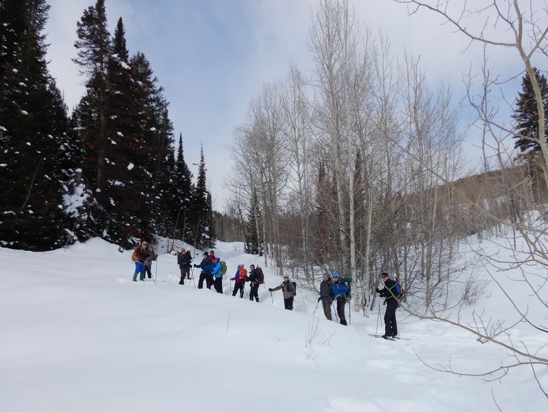
Thirteen mountaineers came to enjoy the spring-like weather--Chris, Teresa, Ralph, Catherine, Keith, David, Caroline, Susan, Dave W, Jane, Kathy, Laurel and dog Zinnia, and Dave P (leader). We had a range of foot gear—5 on skis, 1 on a split-snowboard, 1 with boot cleats, and the rest on snowshoes. It hardly felt like winter, sunny, no wind, and 40 to 50º F, but there was still plenty of snow. It wasn’t long before coats were coming off. The trail was well packed and all but one skier climbed with skins. Some folks had problems with snow build up on snowshoes or skins.
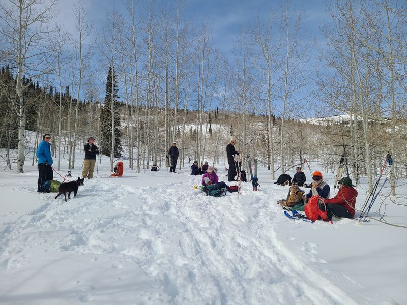
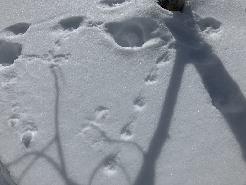
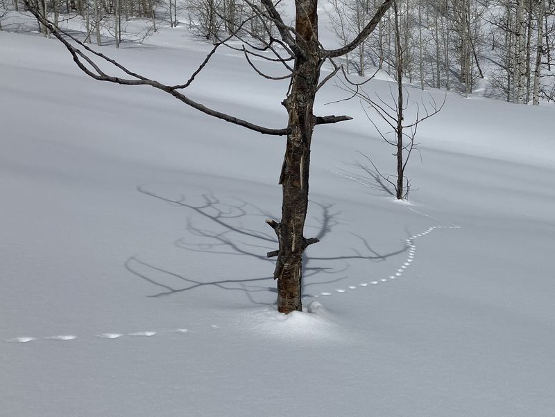
Besides the beautiful blue sky, we admired numerous tracks in the snow. One set wandered back and forth from the forest to meadow and some guessed it was a bobcat, others suggested a dog. We had a relaxing lunch above Goring Pond—just a snow-filled hollow at this time.
On the way down variable snow conditions—from soft snow to breakable crust to ice on the trail—made controlled skiing a challenge. The snowboarder had the best run. Two of us stopped and heard mysterious “toots” coming from the forest, possibly a saw-whet owl, even though it was the middle of the day. We encountered two groups of skiers coming down with wide backcountry skis, and one group headed up to the yurt pulling a sled.
We returned to Smith’s Marketplace at about 2:15.
Trip Summary:
- 13 participants: Chris, Teresa, Ralph, Catherine, Keith, David, Caroline, Susan, Dave W, Jane, Kathy, Laurel and dog Zinnia, and Dave P (leader)
- Drove 23 miles to the "old" Bunchgrass trailhead (now a slow-vehicle turnout on US-89)
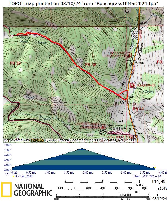
- Started on the trail about 10:45, lunch at Goring Pond 12:15 - 12:55, back at the trailhead at 1:50 and Logan about 2:15
- Sunny skies, warm temperatures and calm
- Traveled
about 3.8 miles with about 800 feet of ascent
Thanks
to Dave P for the narrative and photos, Dave W, Jane
and Ralph for photos, and Dave and Ralph for GPS data.
 |
 |
||
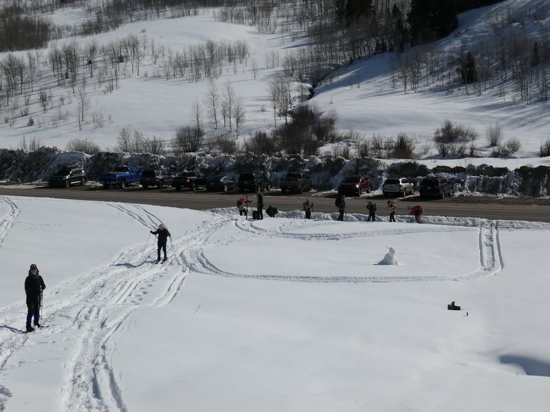
| Organizing carpools at Smith's |
Starting out from the trailhead on US-89 | ||
 |
|||
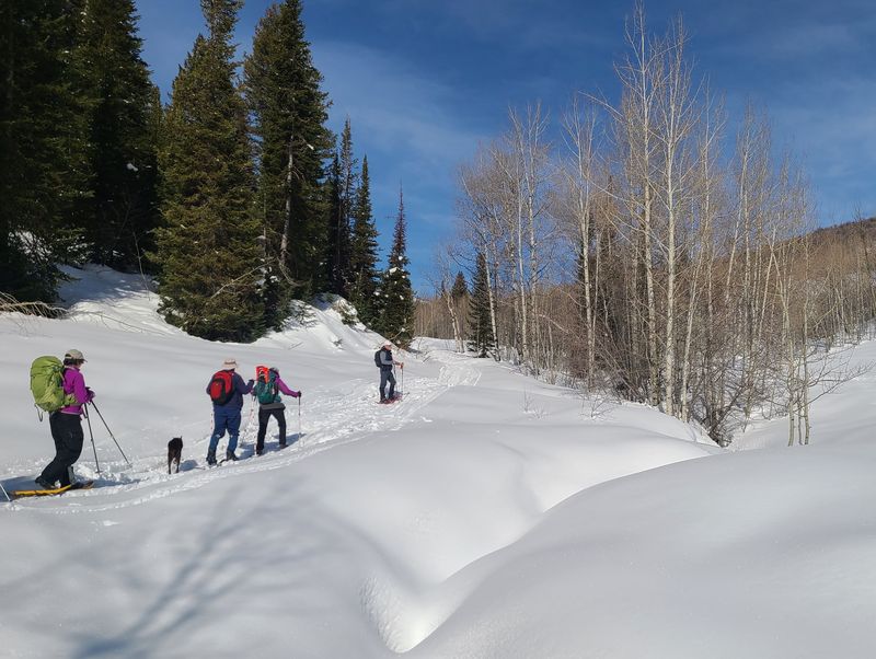
| Crossing
Bunchgrass Creek |
|||
 |
 |
||
| Compare the 2024 snow conditions
(left) with 2023 (right), or previous years, below |
|||
 |
 |
||
| 2022 |
2021 |
||
 |
|||
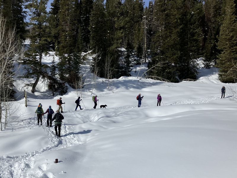
| Ascending the
trail (designated by the Forest Service as Trail
7051 White Pine-Bunchgrass Canyon) |
|||
 |
 |
||
| Snowshoers and skiers had tracked the trail before our arrival | |||
 |
|||
| We could see Chicken Hill (left) and White Pine Knob (right) from our lunch area | |||
 |
|||
| Our lunch spot
near Goring Pond |
|||
 |
 |
||
| Animal tracks in the snow |
|||
 |
|||
|
Our GPS track shows about 3.8 miles
and 800 feet of ascent.
You can look at our route using Google Earth or
download our GPS
file.
|
|||